Thematic Map
Information from the 2000 Census
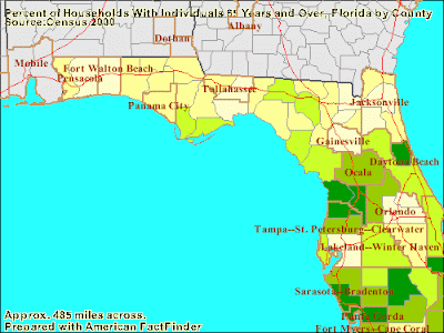
Thematic maps are used to represent and emphasize an idea or theme. The special topic in which the cartographer wishes to display may be qualitative or quantitative. Just like the map shown above thematic maps are often used to show population densities and can be used to graphically show information. Typically all thematic maps use maps with city locations as well as political boundaries. Used from information gathered from the 2000 census this particular thematic map shows the percentage of households with someone age 65+ for each county.

No comments:
Post a Comment